Professional 3D Scanning and Surveying
Technical surveying: Network mapping, volume measurement, leveling, and site monitoring.
Professional 3D Scanning and Surveying
Technical surveying: Network mapping, volume measurement, leveling, and site monitoring.
TopoScan 3D
Professional 3D Scanning and Surveying
Since 2008, I have been a graduate of the École des métiers du Sud-Ouest de Montréal and I offer customized 3D scanning, modeling, and surveying services, tailored to each project and your specific needs. I have completed several major projects in Ottawa and Gatineau for well-known contractors, combining technical expertise and field experience.
Drone Surveying
orthophotos, digital terrain models (DTM/DSM), volumetrics
3D Scanning and 3D modeling
We offer 3D scanning services using laser technology to accurately capture spaces and structures, as well as topographic and land surveys for layout and control purposes. Our drone aerial surveys and bathymetry services provide orthophotos, digital terrain models (DTM), digital surface models (DSM), and volumetric data for various project needs.
Technical Surveying
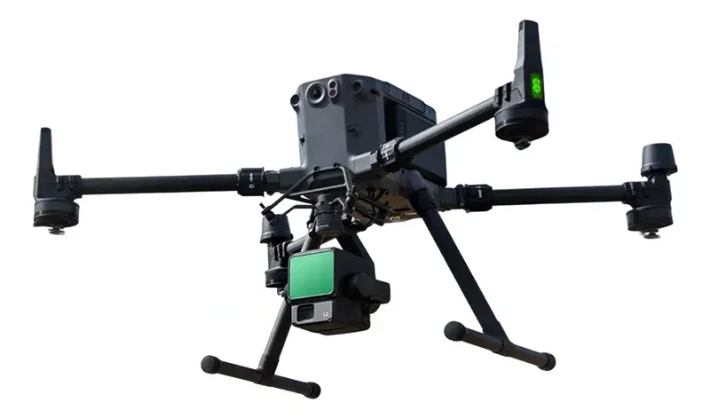
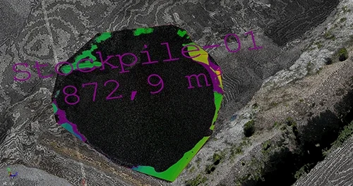
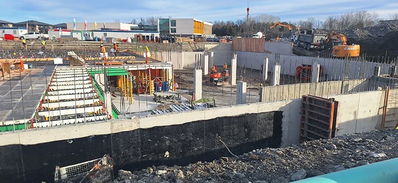
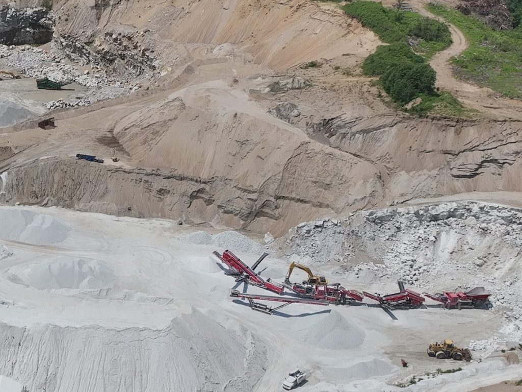
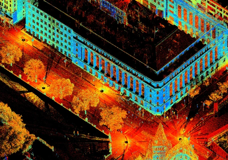
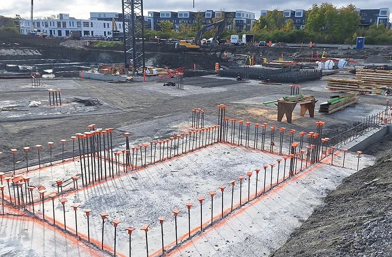
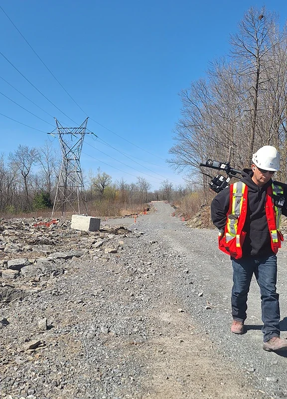
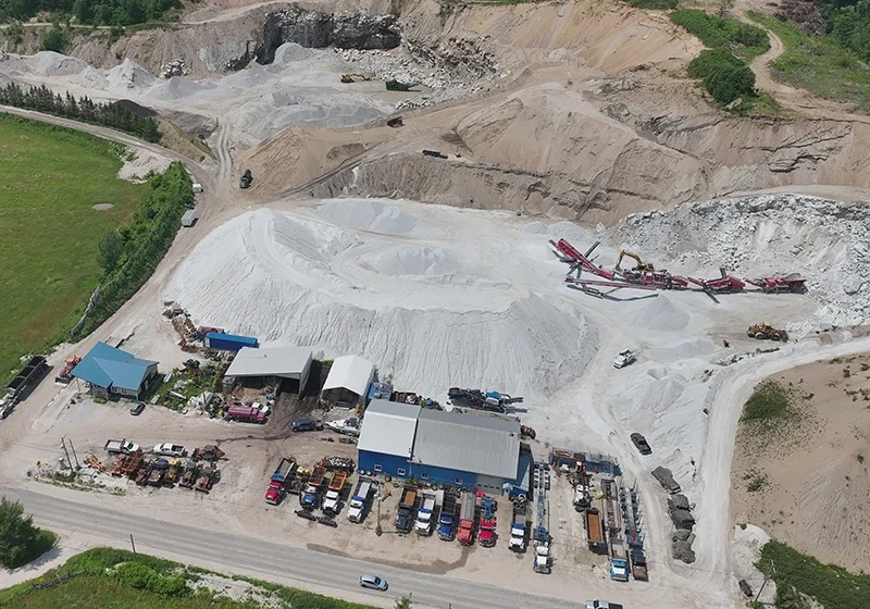
We provide precise surveys of networks, volumes, and elevations to ensure project feasibility and compliance. Our services also include site monitoring and supervision to track movements, deformations, and construction progress. These solutions support planning, quality control, and guarantee results that meet project expectations.
Why choose TopoScan 3D?
- Qualified, accredited, and experienced technician
- RBQ License 2.7 – Layout and Surveying Works for surveys and construction staking in Quebec
- Advanced Drone Pilot License (Transport Canada) for safe and specialized operations
- Services available on both sides of the river: Gatineau / Ottawa and surrounding areas
- Advanced technologies: 4E Enterprise Matrix (mapping and photogrammetry), RTK350 + Vimuse
- L2 (LIDAR capture), total station, GNSS, 3D scanning, and drones


